By Sophia Reed
Nearly three thousand kilometers beneath our feet, a vast graveyard of ancient oceanic crust wraps around the boundary between Earth’s rocky mantle and molten outer core. By analyzing earthquake echoes recorded across remote Antarctic ice sheets, geophysicists have discovered that these dense underground structures are far more widespread than previously believed, towering taller than Mount Everest.
Listening to Earthquake Echoes Beneath the Southern Hemisphere
Where the solid silicate rock of the lower mantle meets the liquid iron-nickel alloy of the outer core roughly 2,900 kilometers underground, physical properties change more abruptly than at the planet’s surface. For decades, seismologists probing this core-mantle boundary noticed scattered pockets where seismic compressional and shear waves suddenly slowed by up to thirty percent. Researchers dubbed these mysterious, dense patches ultra-low velocity zones, or ULVZs, yet sparse seismic coverage left most of the Southern Hemisphere unmapped.
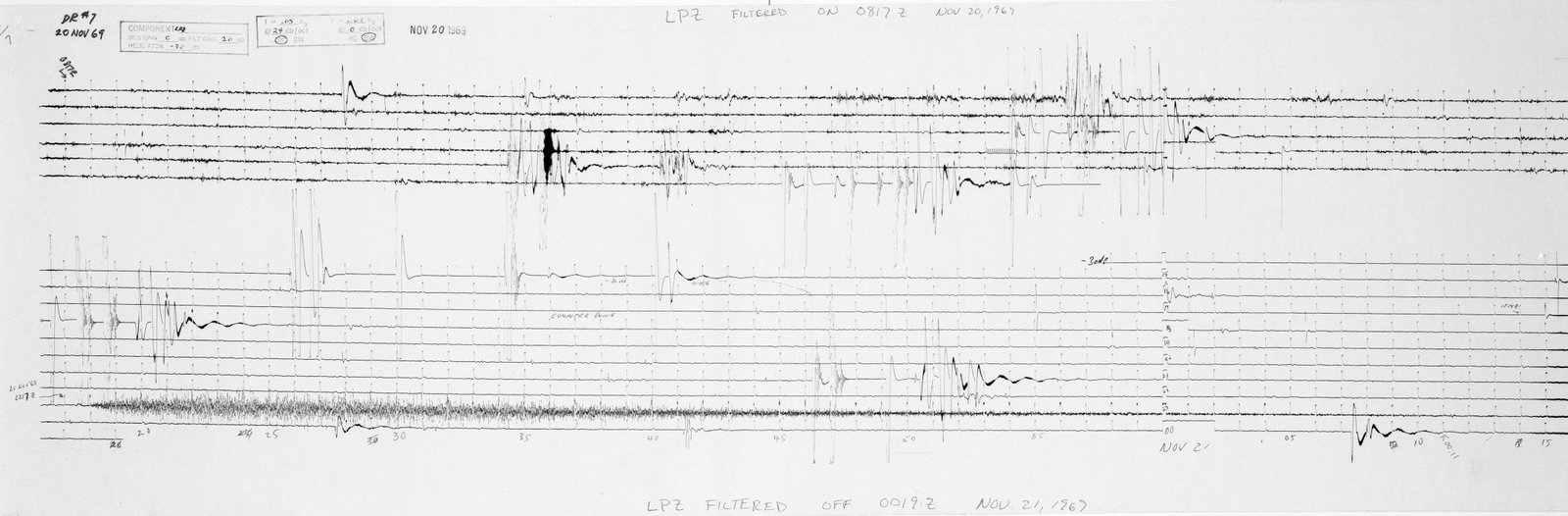
To illuminate this deep geological blind spot, a team led by geophysicists Samantha Hansen and Edward Garnero deployed an array of fifteen autonomous broadband seismometers across Antarctica. Over three years, these buried polar stations recorded seismic waves generated by distant earthquakes as the vibrations traveled through the globe and bounced off the core-mantle boundary like radar pings. Applying high-resolution waveform stacking techniques allowed the scientists to detect subtle reflected echoes from structures just a few kilometers thick.
Remarkably, every single seismic path sampled beneath the Southern Hemisphere revealed clear ultra-low velocity zone signatures along the base of the mantle. The findings demonstrated that rather than being rare, isolated blobs associated only with active volcanic hotspots, these dense anomalous layers form a nearly continuous, mountain-like blanket wrapping around the planet’s core.
How Subducted Oceanic Crust Sinks Into Deep Mantle Mountains
Computer simulations of mantle convection indicate that these deep structures represent the accumulated remnants of ancient seafloors that sank into the Earth over hundreds of millions of years. When oceanic tectonic plates collide with continental plates at subduction zones, the cold, dense basaltic crust plunges downward through the mantle toward the core. Over geological eons, slow convective currents sweep this subducted rock along the core-mantle boundary, piling it into variable ridges that range from five kilometers to over forty kilometers tall.
Because subducted oceanic basalt melts at lower temperatures than surrounding mantle rock when heated by the 4,000-degree-Celsius core, partial melting drastically slows passing earthquake waves. Integrating polar seismology with geodynamic modeling showcases how planetary science can reconstruct tectonic recycling processes occurring thousands of kilometers below reach.
Driving Mantle Plumes and Regulating Core Heat Escape
These subterranean mountains of recycled seafloor play a pivotal role in regulating how heat escapes from Earth’s molten outer core into the overlying mantle. By acting as a variable thermal blanket, thick accumulations of ancient crust alter convective flow inside the liquid iron core that generates our planet’s protective magnetic field. Furthermore, material swept off the edges of these deep zones may feed upwelling mantle plumes that fuel surface volcanic island chains such as Hawaii and Iceland.
Future seismic deployments across ocean basins and polar ice caps aim to map the exact topography and chemical variation of these ultra-low velocity zones worldwide. Comparing regions of thin five-kilometer layers against forty-kilometer subterranean peaks will help geophysicists determine how long subducted slabs reside at the bottom of the mantle before being mixed back upward. Ultimately, the deepest frontier on Earth proves to be directly shaped by the sinking of its surface oceans.